
Posts with tag 'Central Oregon Hikes'
Subscribe and receive email notifications of new blog posts.
 RSS Feed
- 2026 | 72 Posts
- 2025 | 103 Posts
- 2024 | 110 Posts
- 2023 | 72 Posts
- 2022 | 52 Posts
- 2021 | 70 Posts
- 2020 | 84 Posts
- 2019 | 38 Posts
- 2018 | 48 Posts
- 2017 | 39 Posts
- 2016 | 31 Posts
- 2015 | 10 Posts
20
Soda Creek to No Name Lake at Broken Top a Challenging But Wonderful Central Oregon Hike
October 16, 2021 was probably one of the most beautiful fall days in Central Oregon that we have seen for many years. The cool weather in the morning warmed during the day and the sky was a perfect blue with a few high clouds. The snow that fell on the mountains earlier in the week had melted some and it was a great day to take a long hike in the Cascades. We started off the day deciding to hike the Three Sisters Wilderness loop from Soda Creek around Broken Top to Green Lakes and back via Fall Creek to the trailhead. 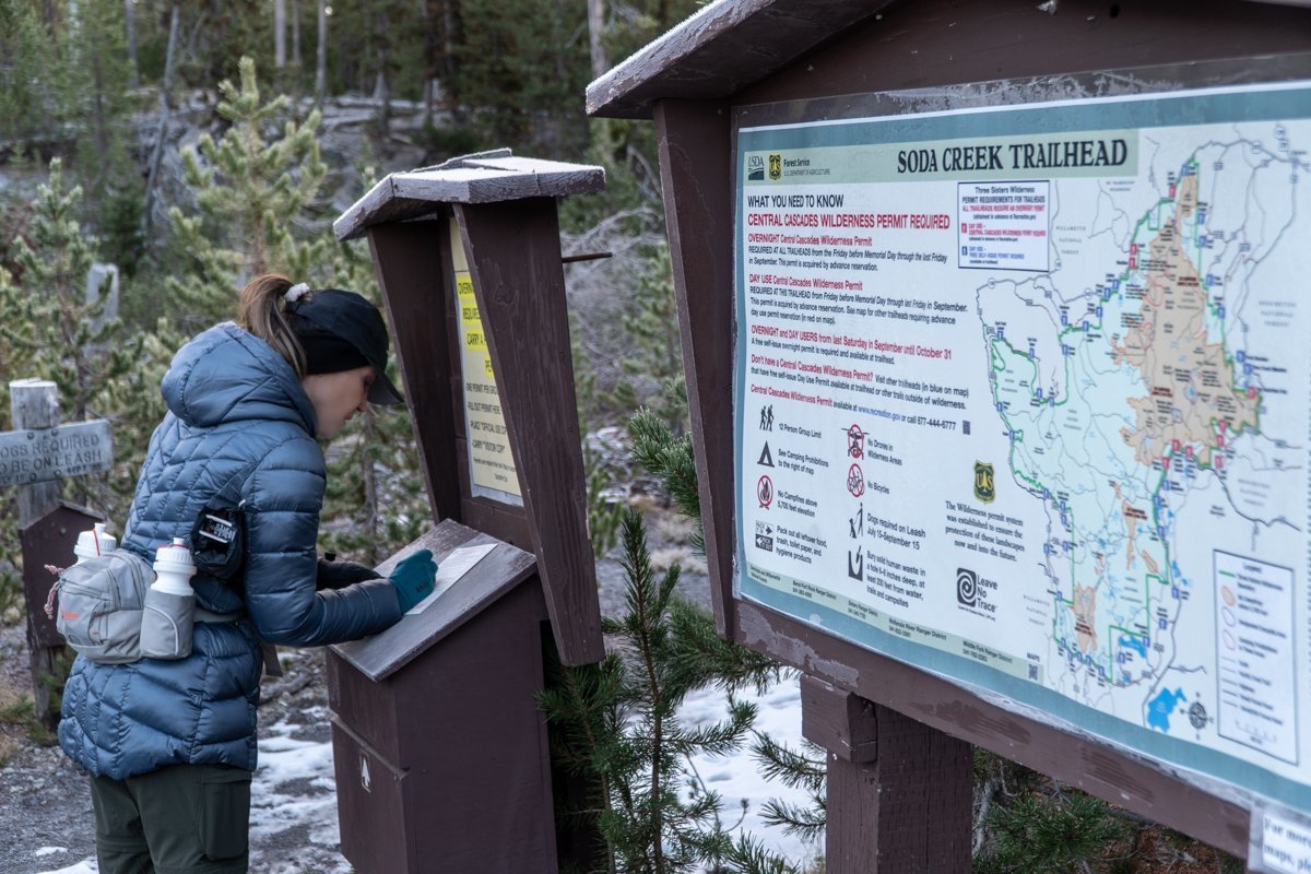 We had taken this hike last year in late October and thought it would be good to do again. However, 4.5 miles into the hike the trail branches northeast to Broken Top and ultimately No Name Lake. This time we elected to take the longer hike to Broken Top.
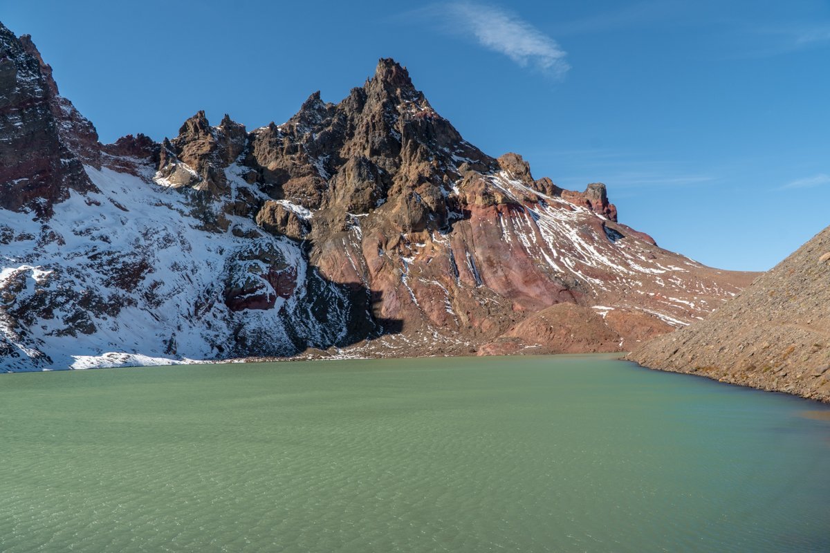
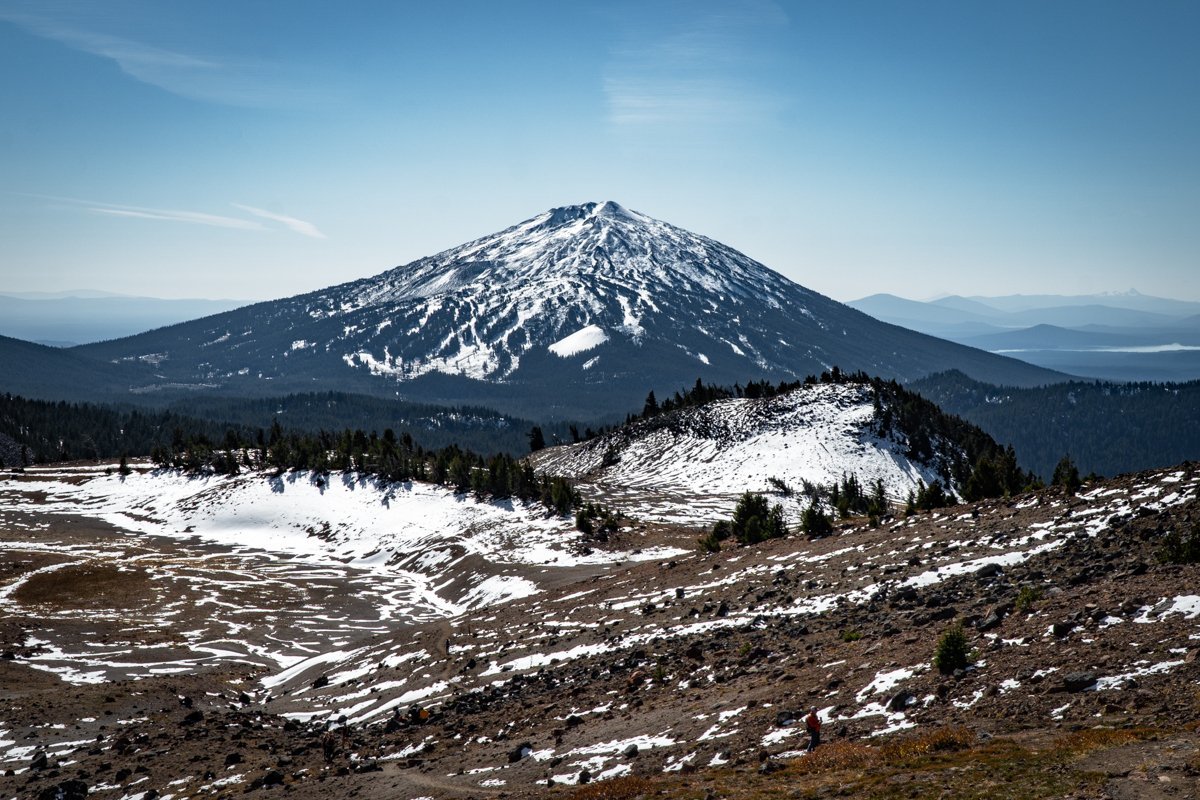
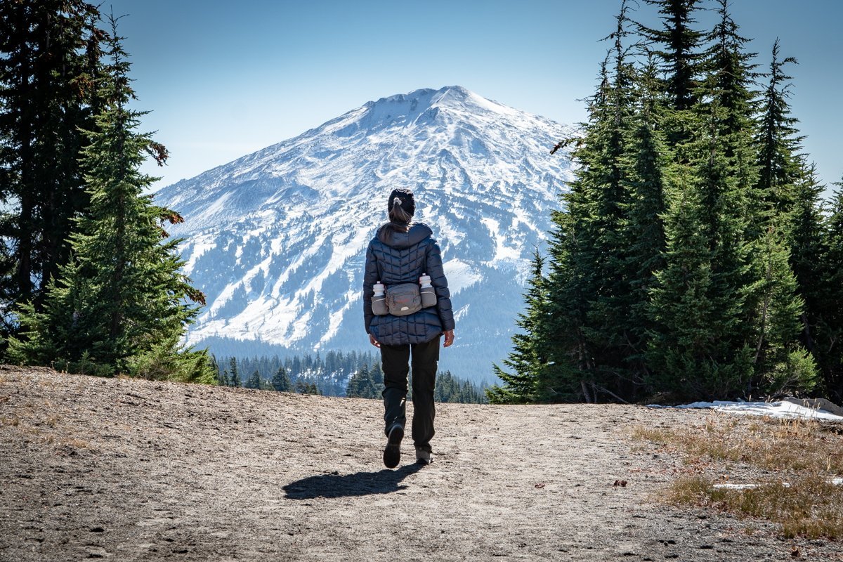
Starting the hike around 8:30 am, we saw just a couple of people on the path from the Soda Creek trailhead (shares the same parking lot as Green Lakes) to the junction with the Broken Top trail. As the path climbed, we entered a meadow from which a number of springs flowed and the beautiful colors of Broken Top became more evident. Crossing the Crater Ditch trail, we saw a social trail that climbed steeply to an overlook which provided amazing views of Broken Top's south slope and with a 180 degree turn south, provided some spectacular views of Mt. Bachelor. We decided to travel cross country up a draw to join with the main Broken Top trail and continue on to No Name Lake. The main trail had more people on it, enjoying the beautiful day as we were. Arriving at No Name Lake, the wind picked up, especially at the outlet to the lake where the surrounding moraines channeled the air. It was nice to see the beautiful aqua blue color of the lake returning several years after the avalanche which killed 19 elk in 2017 and deposited a lot of dirt in the water.
After a short stay for lunch at No Name Lake, we returned via the main trail to our cut off through the meadow and back to the Soda Creek trail. We arrived at our car around 4:30. All in all, the hike was roughly 16 miles with 3100 feet of elevation gain. It was a full day with wonderful views and a great experience.
 |
 |
19
Four in One Cone a Great Hike off McKenzie Highway
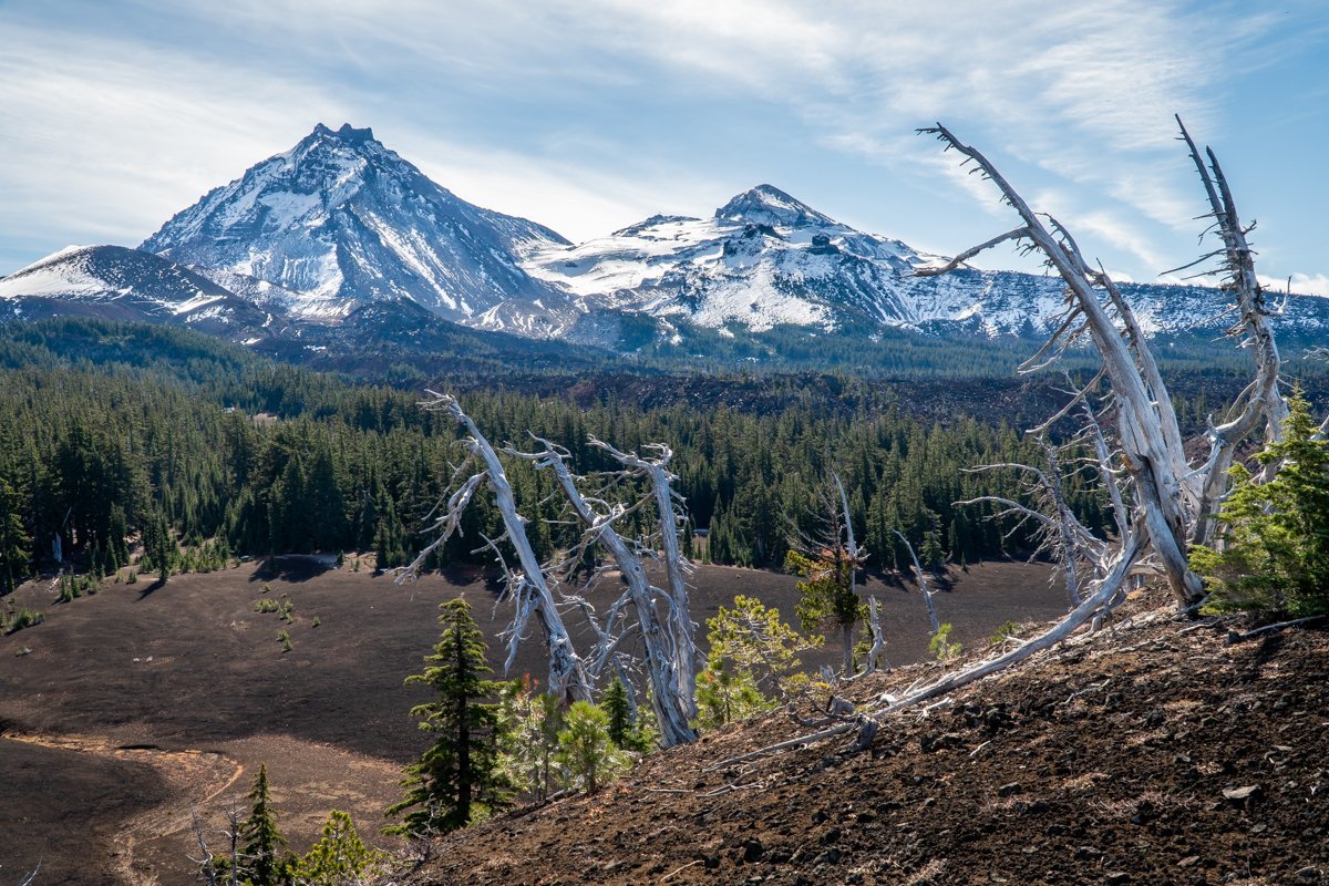
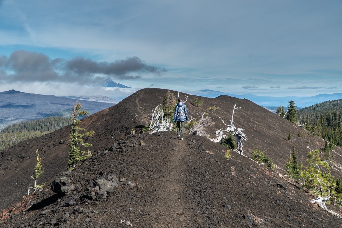
On October 9, 2021 we were able to check another Central Oregon hike off the bucket list. The hike to Four in One Cone off Scott Trail in the Three Sisters Wilderness has been a goal for sometime and we were scheduled to hike this earlier in the summer under the new Wilderness Permit System; however extreme wildfire smoke kept us away on our scheduled day. In early October, the hike started with cool temperatures (in the 20s) but warmed during the day to the 50s. The hike is not long (roughly 9 miles round trip) with elevation gain just over 1400 feet. The hike is called Four in One Cone due to the nature of the 4 cinder cones which are adjacent to each other and have the unique topography of being blown out on one side with the remaining rim flowing into the next cone. The views from the top of the cones are fabulous toward North and Middle Sister, Little Brother, The Husband and then north toward Mt. Washington, Three Fingered Jack and Mt. Jefferson. The Collier glacier is easily seen from the cone as is another spot which is now on our list - the top of Collier Cone. On this day, we saw only two other hikers the whole day - and those two thirds of the way back to our car. Early October is becoming one of our favorite times to hike in the Cascades with cooler temperatures, fall color and fewer people making our experience very special.
 |  |
6
Belknap Crater Provides a Unique Hiking Experience in the Mt Washington Wilderness
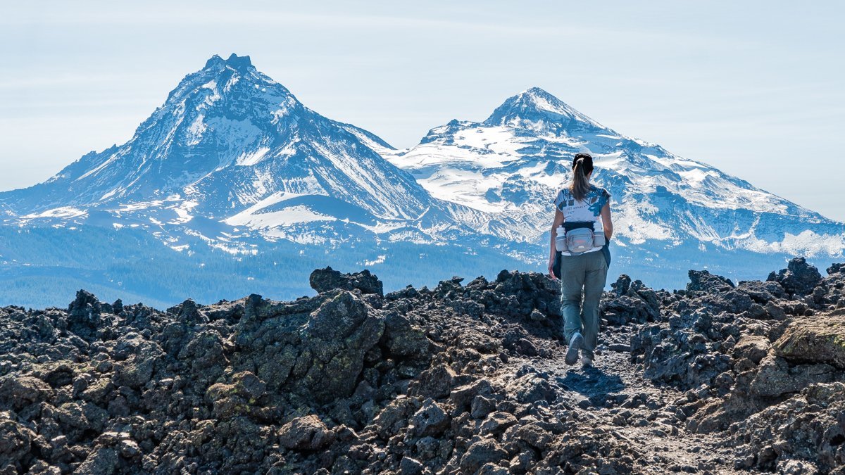
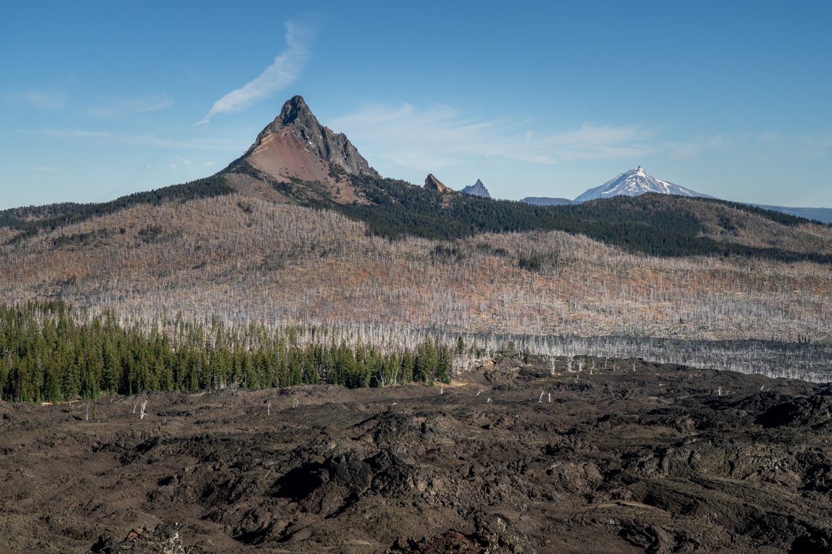
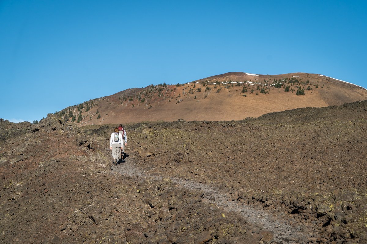
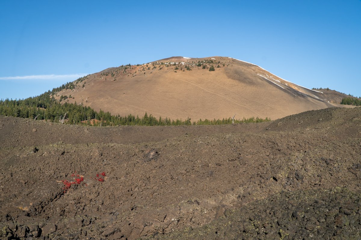
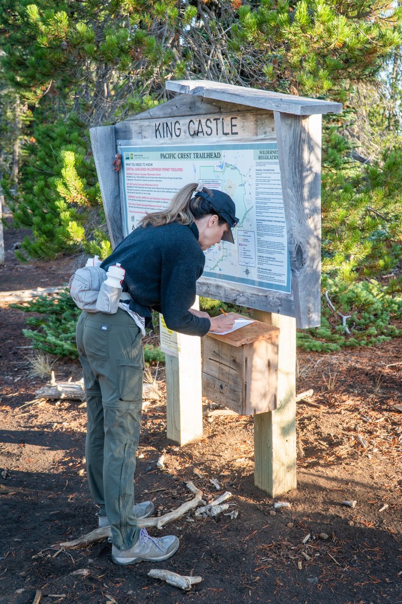
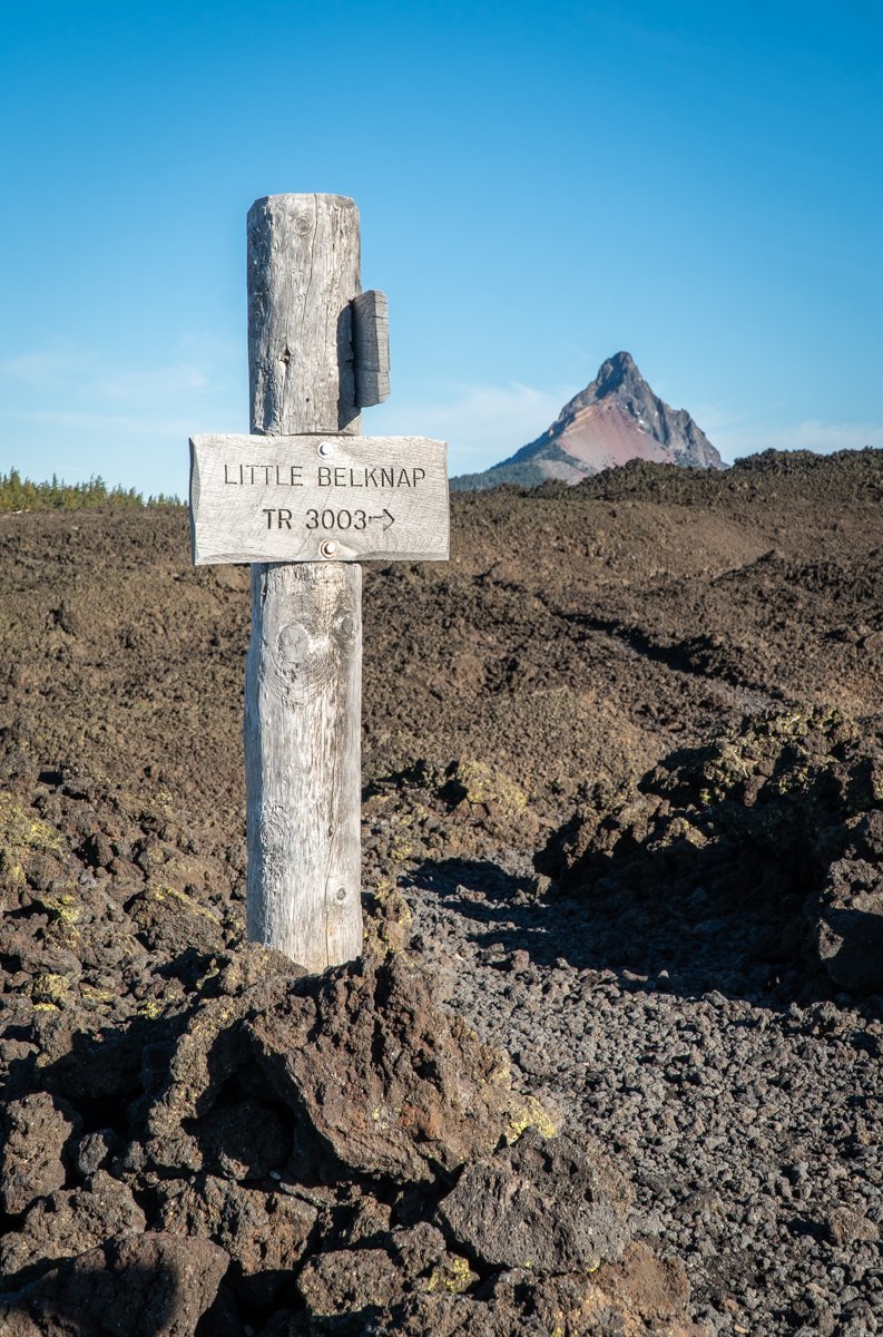
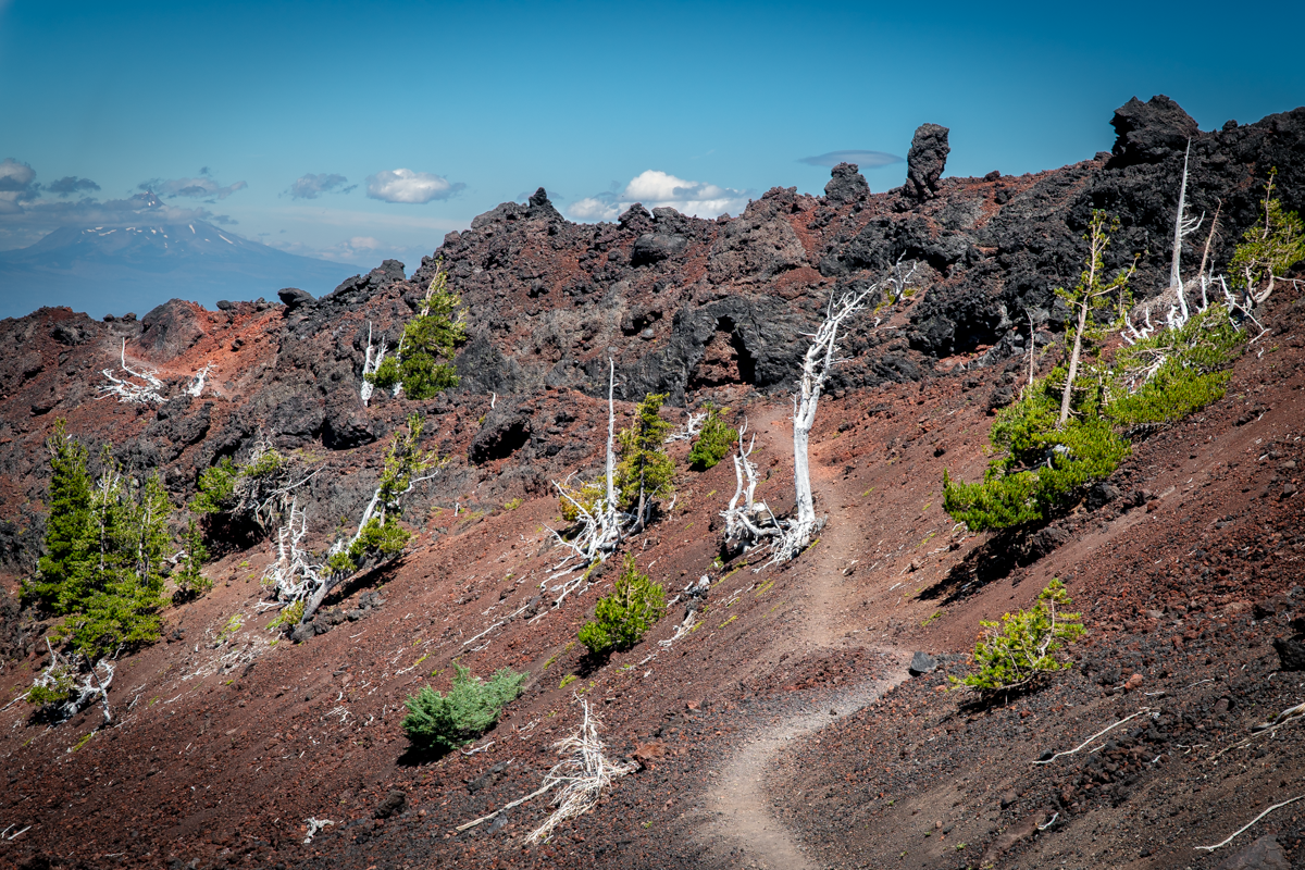
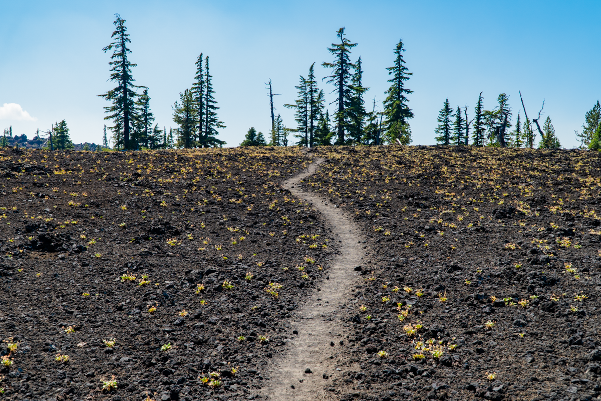
We enjoy hiking the various trails accessed via McKenzie Pass (Hwy 242) while it is open during the warmer months. One trail we attempted the first time a year ago but didn't complete due to freezing temperatures was Belknap Crater. The trailhead is located just past the Observatory and traverses a section of the Pacific Crest Trail (PCT). The unique topography of this hike passes through two wooded "islands" which survived the recent (last 1000 years) volcanic eruption of Little Belknap Crater and provide for shade in this otherwise exposed terrain. Past the last island, the hike climbs onto twisted, rugged lava complete with lava bombs, pressure ridges, lava tubes, and of course, the two peaks which were the origin of the miles of lava the hike takes trekkers through. Good footwear is essential as is a good hat in this exposed landscape and we do not recommend dogs due to the rough ground which can cut their paws. We delayed this hike until it was cooler in order to avoid the high temperatures which a sunny summer day can generate on the exposed black and red rock.
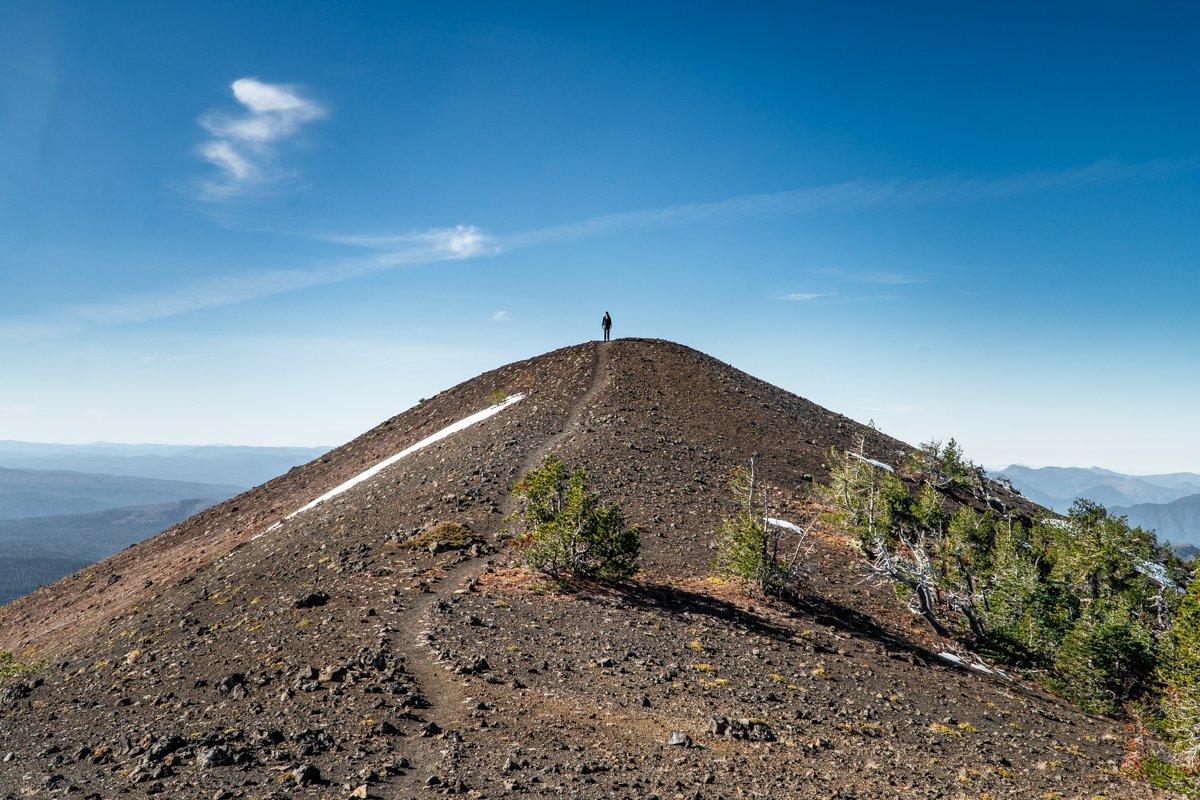
The hike is not too difficult with 1100 feet of elevation gain to reach the top of Little Belknap Crater in roughly 2.6 miles. But once we enjoyed the views from the top of Little Belknap, we elected to continue on past the lava fields and tackle the steep hike up Belknap Crater. This additional trek averages a 17% grade with a maximum grade of 49% in under a mile and a total of 737 feet in additional elevation. Belknap Crater does not have the rough lava surface of Little Belknap, but rather a smoother pumice and dirt surface with its older topography supporting plants and trees. We enjoyed the views before returning the way we had come. All in all, this hike was less than 8 miles round trip, but did provide for fabulous views of Mt. Washington, North and Middle Sister, and The Husband.
 |
 |
 |
 |
 |
 |
OkCancel
14
Best Central Oregon Hikes - Green Lakes 9-11-21
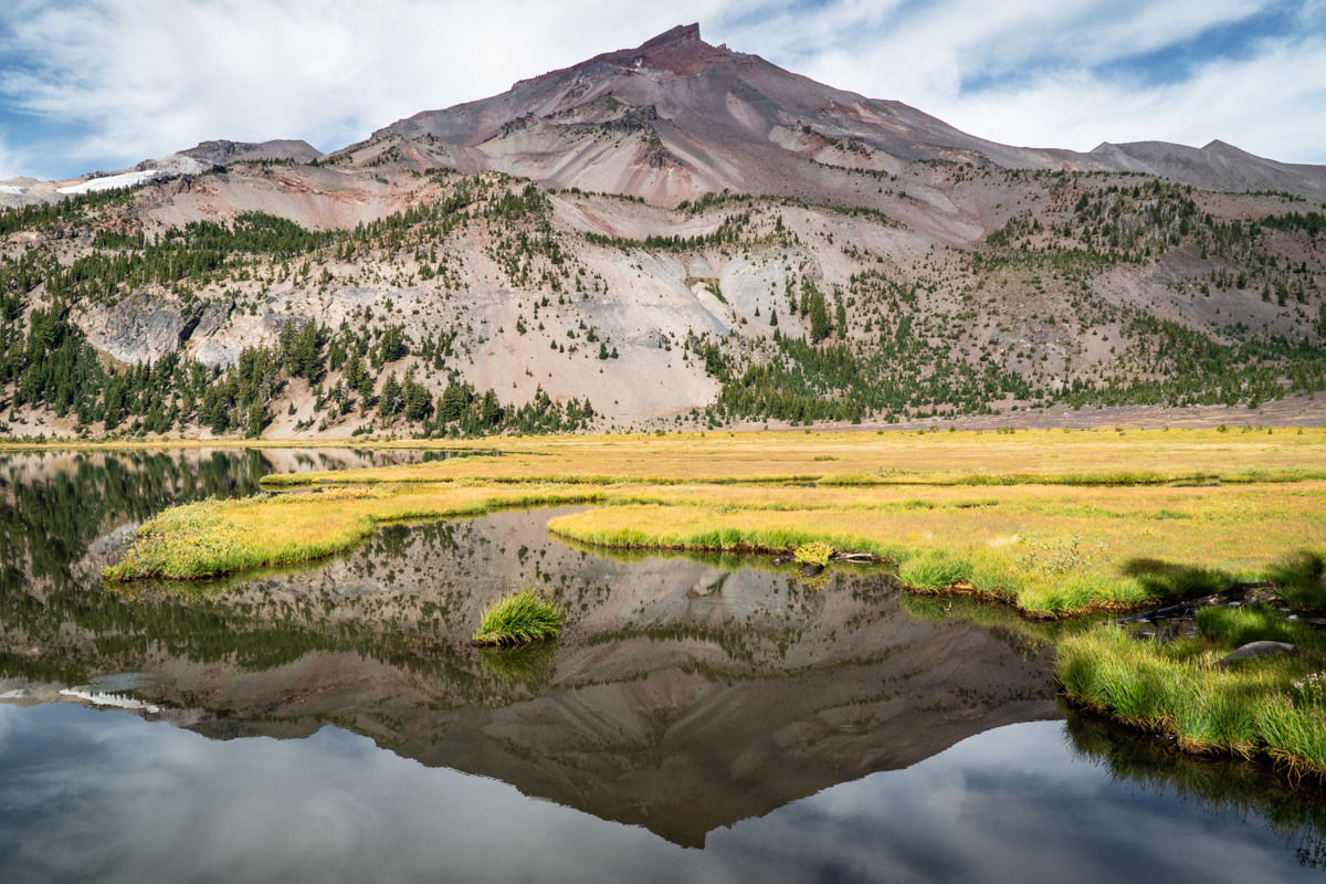
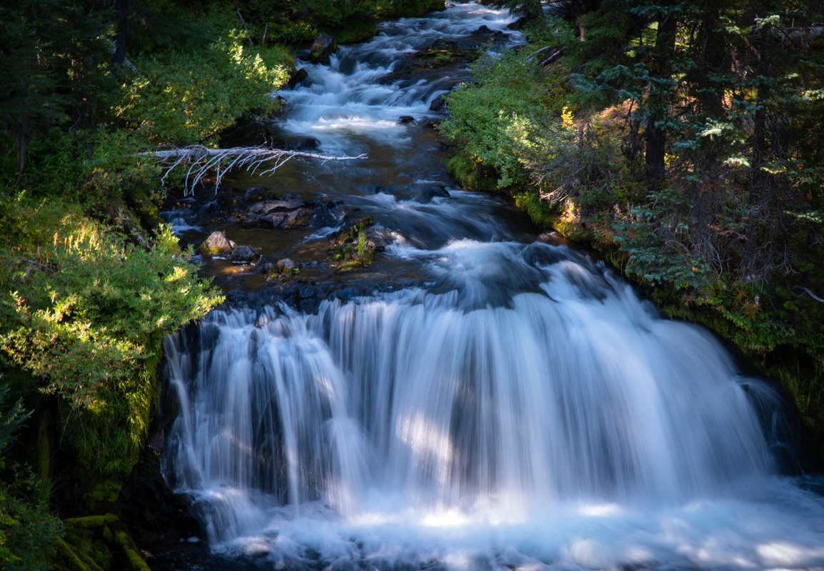
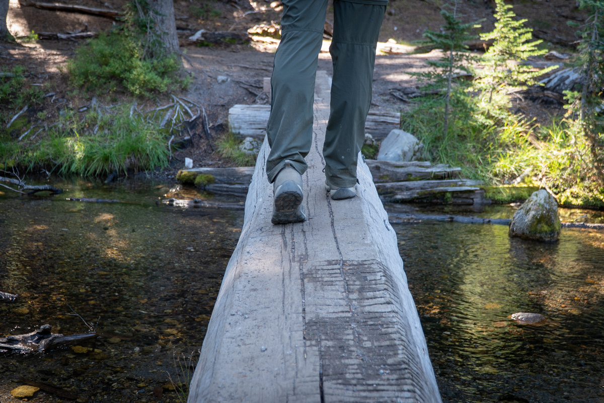
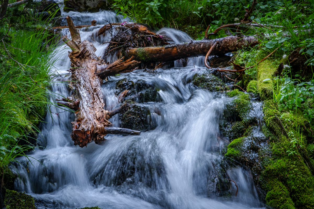
After a month of terrible, hazardous air due to smoke from several forest fires settling in the Bend Oregon area, on Saturday, 9-11-21, Central Oregonians were thrilled to experience clean air as the bad air dissipated and the normal sparkling blue skies of September returned. We had planned on hiking Green Lakes on 9-11 as part of the series of scheduled hikes we had set up in April due to the newly implemented 2021 Wilderness permit system. However, we were ready to cancel if the air quality was as it had been the Saturday before - extremely hazardous with limited visibility and health recommendations to stay indoors. As we drove up Century Drive towards the Green Lakes trailhead, the remaining smoke in the area was evident until we passed Widgi Creek and all of a sudden, the skies were blue rather than grey and the smell of smoke disappeared. The Green Lakes Trailhead had just a few cars and our 4.5 mile trip up Fall Creek with its numerous waterfalls to Green Lakes was extremely private with us seeing just a handful of people.
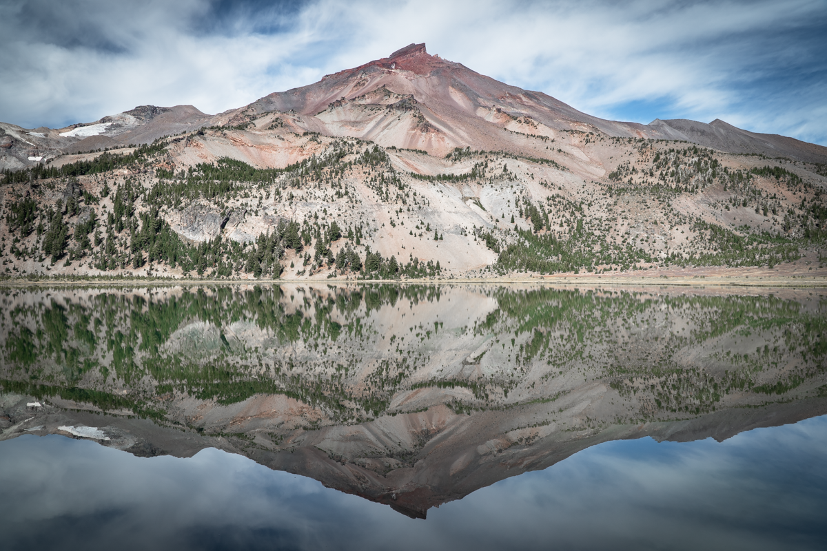
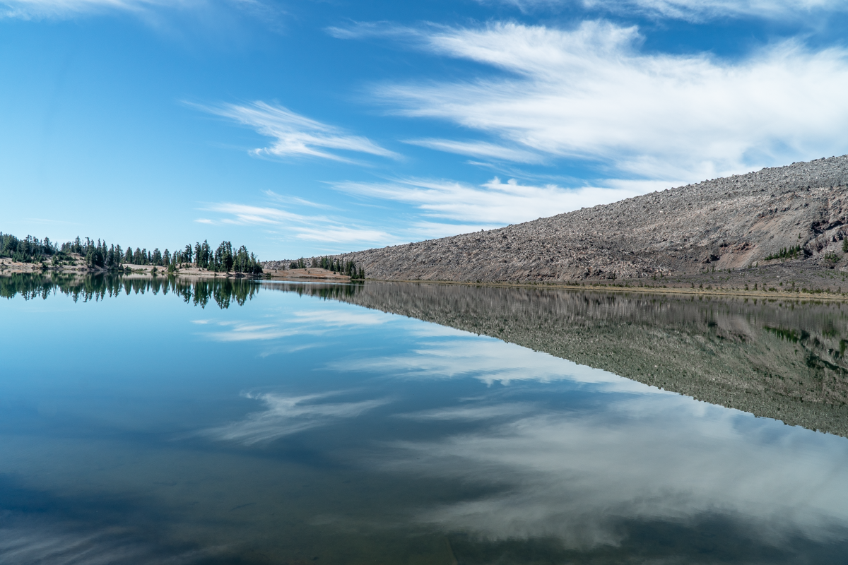
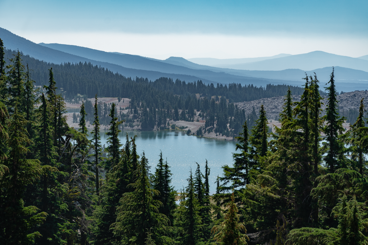
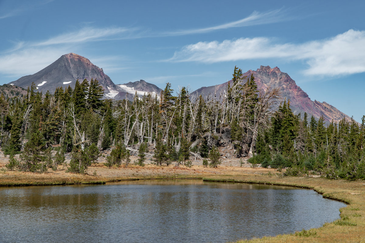
Upon reaching Green Lakes, we were amazed at the almost perfect weather conditions for photography with the air still and all 3 lakes mirroring the mountains and early fall foliage around them. We extended our hike past the northern most Green Lake over the saddle between Broken Top and South Sister and on to Golden Lake, extending our hike to between 16 and 17 miles total. After lunch we returned the via the route we had arrived, thoroughly enjoying the beauty of the Three Sisters Wilderness and the clean air. This is a wonderful hike to a lovely location and is highly recommended.
 |
 |
 |
 |
 |
 |
12
Beyond the Obsidian Trail - Wonderful Hike in the Three Sisters Wilderness
Very Few People But Amazing Views Over Every Hill
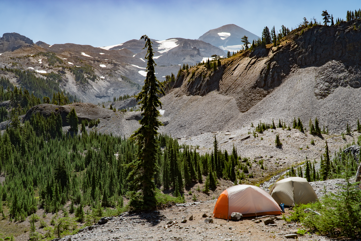
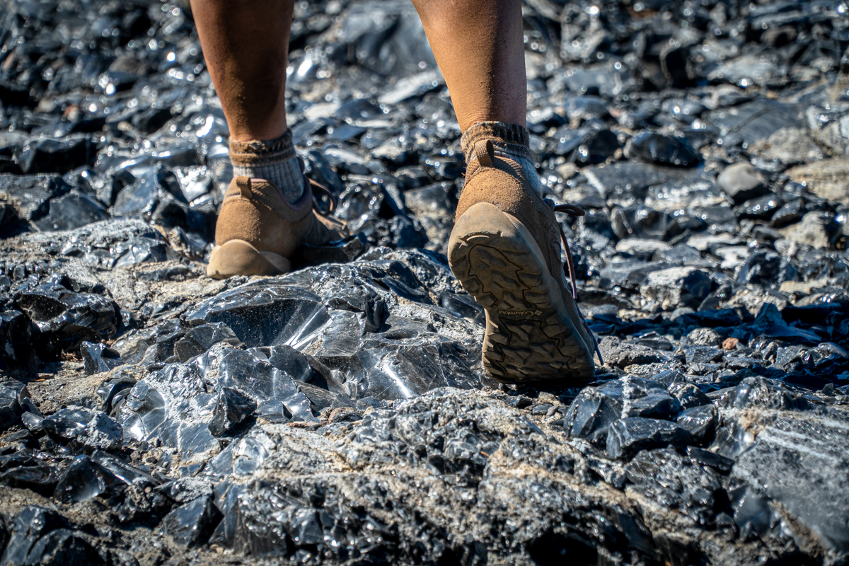
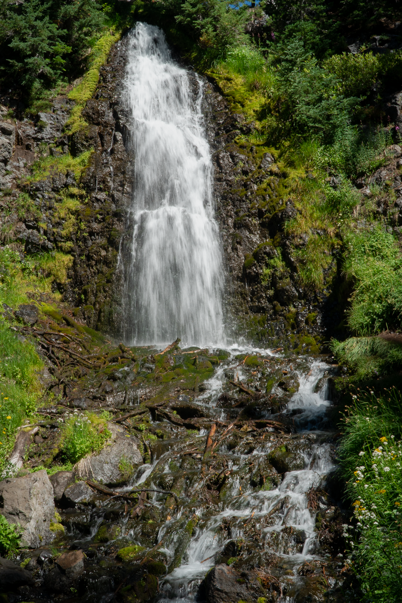
We hiked the Obsidian Trail for the first time last year and really enjoyed the beauty of this trail which starts in the Willamette National Forest and traverses through the Three Sisters Wilderness. The photos do not replicate the interesting experience of sunlight reflecting off the sharp obsidian pebbles and larger stones seen in portions of the hike.
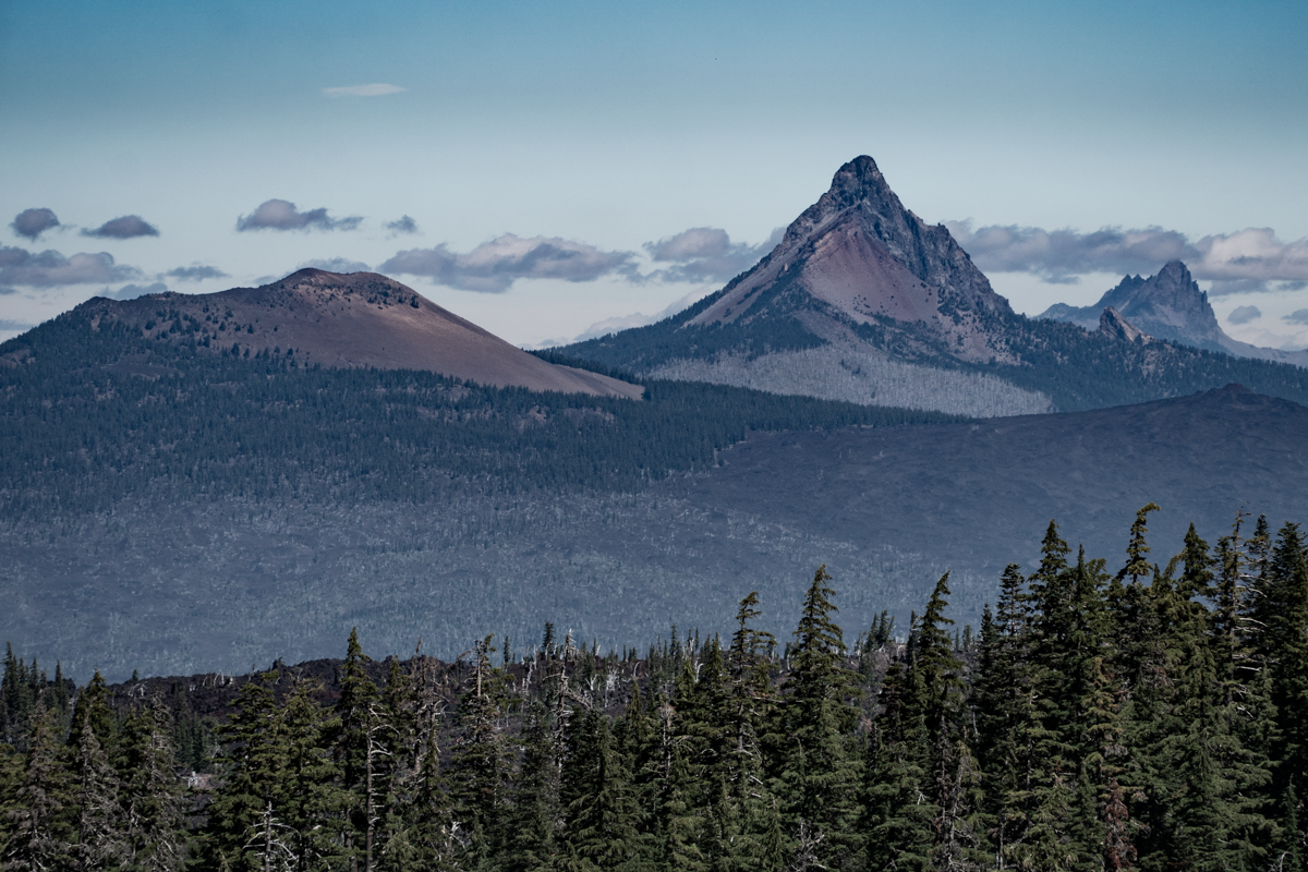
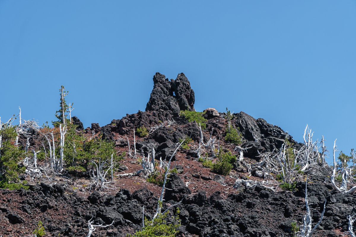
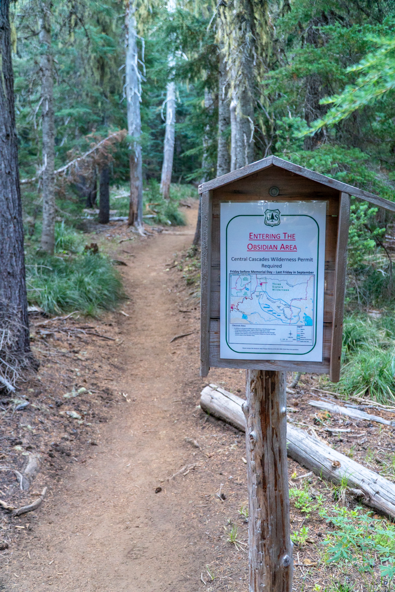
Our hike on August 7, 2021 started with smoke filled air blowing in from the Willamette Valley and Washington State. During the course of the hike we had varying degrees of smoke impacting our views and breathing, but the air quality got progressively better as the day wore on. We repeated the hike from last year, but once we reached the Glacial Way trail which loops back to the Obsidian Trail close to White Branch Creek, we elected to continue on north on the Pacific Crest Trail to Collier Cone from which, we had read, wonderful views of Collier Glacier on North Sister would be visible. But once we reached the cut off for the glacier, we elected instead to continue on to Scott Trail traveling north on PCT. This stretch of the PCT traverses through fascinating volcanic areas to the west and north of Middle and North Sister and then eventually drops into a lovely meadow in which Scott Trail intersects. Scott Trail has a branch off to Four in One Cone which we didn't take (but hope to sometime soon) and eventually brings hikers back to Hwy 242 (trail maps show a direct path from Scott Trail to the Obsidian Trailhead, but it was closed for restoration). We hiked on the shoulder of the highway 1/2 mile back to the parking lot by the Obsidian Trailhead. All in all, we estimate we did in excess of 17 miles and roughly 3400 feet of elevation gain, but it was through such an amazing area of Central Oregon that we had never experienced. The few people we met along the way, mostly on the PCT, were backpackers and once we started on Scott Trail, we saw no one else. People looking for a shorter trip can do the Obsidian Trail loop we did last year (under 12 miles) or travel Scott Trail to Four in One Cone (just under 9 miles round trip).
We hope to come back soon to this beautiful section of the Three Sisters and Mt. Washington Wildernesses to experience additional hikes. There is still much to explore.
 |
 |
 |
 |
 |
 |
 |
 |